AT309 Lab #8 Coordinate Systems and Projections
- Leighton Moorlach

- Nov 12, 2021
- 1 min read
Updated: Mar 22, 2022
Background:
In Lecture we moved beyond the concept of datums and geographic referencing and started looking at Geographic Coordinate Systems and Projections. Today you will be building upon what you learned last week and combining that with looking at projections and coordinate systems in your lab. The lab for this week is somewhat out-sourced to where you will be engaging in an ESRI online web course as part of your lab.
Objectives:
1. Objective #1: Discover, identify, and the apply basic concepts behind projections and coordinate systems.
2. Objective #2: Recognize, relate, and compare geographic and projected coordinate systems using ArcPro GIS software
3. Objective #3: Demonstrate proficiency and knowledge on how to effectively use projections and coordinate systems that fit the need.
4. Demonstrate proficiency and knowledge on how to effectively work with projections and coordinate system in ArcPro GIS software.
Deliverables:
1. Completion of the Introduction to Coordinate Systems ESRI online course.
2. Creation of an E-Portfolio post that provides a summary of the course and how projections and coordinate systems relate to UAS. Within this summary you should:
a. include screen shots of the work you did.
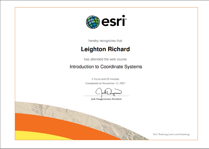
b. Provide an image of you course completion certificate
Results:

Figure 1: Using swipe tool in ArcGIS Pro.

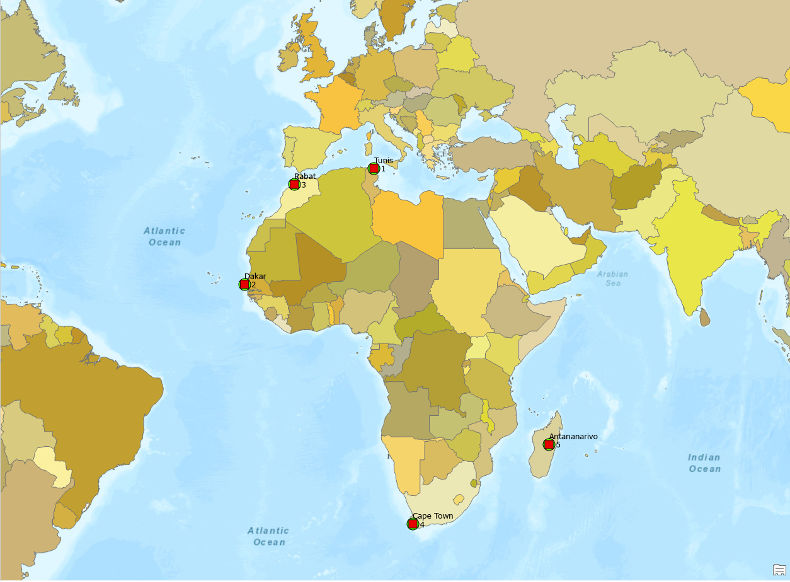
Figure 2: Africa cities in proper location with labels.

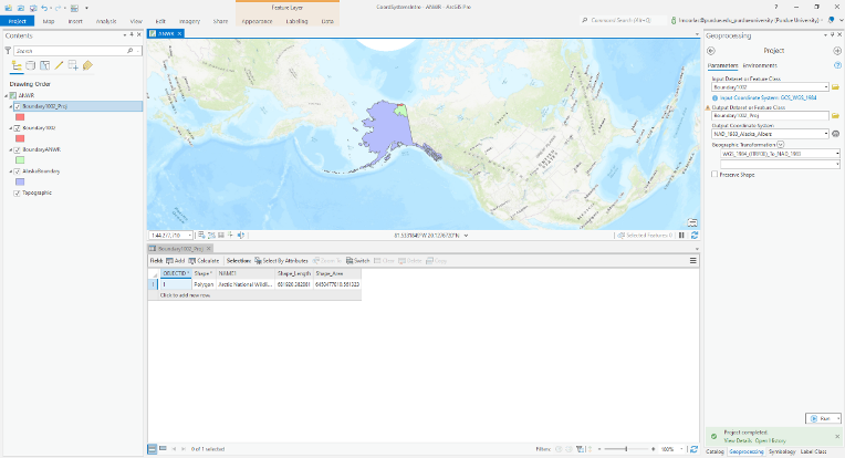
Figure 3: Alaska Albers Equal Area Conic projection.

Figure 4: Completion of tutorial course certificate.


Comments